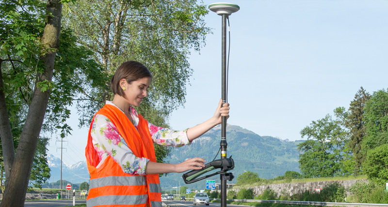
GIS Data Collection
High-precision GIS data collection with HxGN SmartNet

GNSS is changing the way GIS users collect and manage geographic data. Increase the value of your GIS data with the enhanced precision of HxGN SmartNet.
Services
HxGN SmartNet is ideal for any high-precision projects, such as utility mapping, asset management, GIS data collection, and any application that requires sub-metre to consistent high-precision centimetre accuracy.
Availability
HxGN SmartNet makes any GIS database more accurate. Using a subscription to the SmartNet CORS network, you are able to access our DGNSS corrections.
How it works
With access to our DGNSS corrections, you simply set up your GNSS rover and away you go. You do not need to set up your own base station. No need to worry about finding a secure site or forgetting cables. You are also not limited by radio range or interference issues.
Intelligence
Based on Leica Geosystems GNSS technology, results are returned in the range of one to two centimetre accuracy.


